
SATURDAY, OCTOBER 10, 2026
The hurricane made landfall at 8:30 p.m. Friday near Destin, a Category 2 with 105-mph winds, and it got exactly the coverage a landfall always gets — live radars, dramatic gusts, a 117-mph gust on Santa Rosa Island. Saturday morning, what's left of Hurricane Isaias is a post-tropical cyclone drifting north over Alabama, the National Hurricane Center has issued its final advisory, and nobody's watching anymore. That's a mistake. The storm was an event. The recovery is the actual story, and it's just getting started.
We covered the 3 a.m. aftermath as it stood overnight — flash flooding, the first outage counts, the storm weakening inland. This is the daylight report: the confirmed deaths, the damage assessments, and the long, grinding week ahead for the Panhandle.
Two deaths, confirmed Saturday morning
As of Gov. Ron DeSantis's 7:30 a.m. CT briefing, officials were reporting one unconfirmed death in Escambia County. By mid-morning, the toll had doubled: the Escambia County Sheriff's Office told USA Today that one person was killed Friday night shortly after landfall — deputies responded to a fallen-tree report at about 8:48 p.m. CT and found the victim pinned under a large tree inside a home, unresponsive with no pulse. The person's identity and age have not been released.
The second death came early Saturday in Birmingham, Alabama, where Jefferson County EMA Director Jim Coker told USA Today a tree fell on a home as Isaias moved through the state. The Birmingham death and the Escambia death were each confirmed by separate county authorities, two independent sources on each side of the state line.
Roughly 900,000 without power
The number keeps moving, and mostly downward, which is the one good trendline in this whole story. USA Today's outage tracker counted more than 800,000 customers without power Saturday morning across Alabama (283,869), Florida (460,002) and Georgia (116,230) — down about 100,000 from an hour earlier, roughly 900,000, as crews got to work. By 10:30 a.m. ET, nearly 100,000 homes and businesses had been restored.
Zoom in and the county numbers tell you where the real work is. In Escambia County, 129,000 Florida Power & Light customers were still out as of 8:15 a.m. In Okaloosa County, 77,000 outages — 62.3% of all accounts — were reported as of 6:30 a.m. In Bay County, 53,403 outages as of 8:46 a.m., 39.4% of accounts. More than 450,000 of Florida's outages are concentrated in five Panhandle counties.
More than 16,000 line workers were staged ahead of the storm, and DeSantis said restoration work began around 3 a.m. FPL's own assessment was blunt about the timeline: "This storm has been life-altering for so many," spokesman Andrew Sutton said, and the utility has launched what it calls a massive restoration effort. But the Pensacola News Journal's reporting carries the sentence that matters most for everyone in the dark right now: some residents may have to wait days or even weeks for their lights to come back on.
Utility priority lists explain why your neighbor's lights come on first: damaged plants and substations first, then critical facilities — hospitals, police and fire stations, water treatment — then major thoroughfares with supermarkets, pharmacies and gas stations. Individual neighborhoods come last. If you're wondering why the house across the street has power and you don't, you're probably on a different line.
DeSantis at 7:30, Reeves at 6 a.m.
DeSantis's morning briefing was, by hurricane-governor standards, an encouraging one: all state bridges open, I-10 and U.S. 98 clear, and no search-and-rescue requests yet. He's heading to Okaloosa County as part of the post-storm assessment. His caveat was honest, though: "Some of it depends on the extent of the damage," he said of restoration timelines. "If trees are knocking down lines, they can get the lines connected. If there was some type of total wipeout of a substation, then they've got to rebuild that."
In Pensacola, the full weight of recovery operations began at 6 a.m., with public works crews clearing roadways so FPL crews could get in. Mayor D.C. Reeves said downtown Pensacola is one of the few areas with power still on. As of 8:15 a.m., though, most of Escambia and Santa Rosa counties were dark. "That number will rapidly decrease," Reeves said of the 129,000 outages — and he asked residents for patience, noting dozens of crews worked through the night.
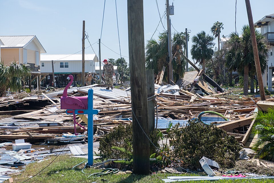
Two Pensacola police officers and one firefighter were injured responding to calls during the storm. Pensacola police handled 185 calls for service between 5 p.m. and 3 a.m., cleared hundreds of trees from roadways, and rescued a man from a burning home. The fire department answered 49 calls, including four structure fires — two firefighters were injured at a house fire on Peacock Drive. "While tree damage is significant, the early indications on loss of life and on injuries is encouraging," Reeves said, urging residents to stay off the roads.
The secondary crises are starting to surface. All of ECUA's service area is under a boil-water notice, and the city of Milton issued its own after a water well lost power. The Pensacola Airport terminal is closed indefinitely for damage assessment, though the runway is open for noncommercial flights. In Milton, spokeswoman Bethany Anderson described the area around City Hall as looking "like a bomb went off" — fallen trees along the Blackwater Heritage State Trail, Park Street impassable, though City Hall itself was spared.
Bay County, Destin and the Panhandle to the east
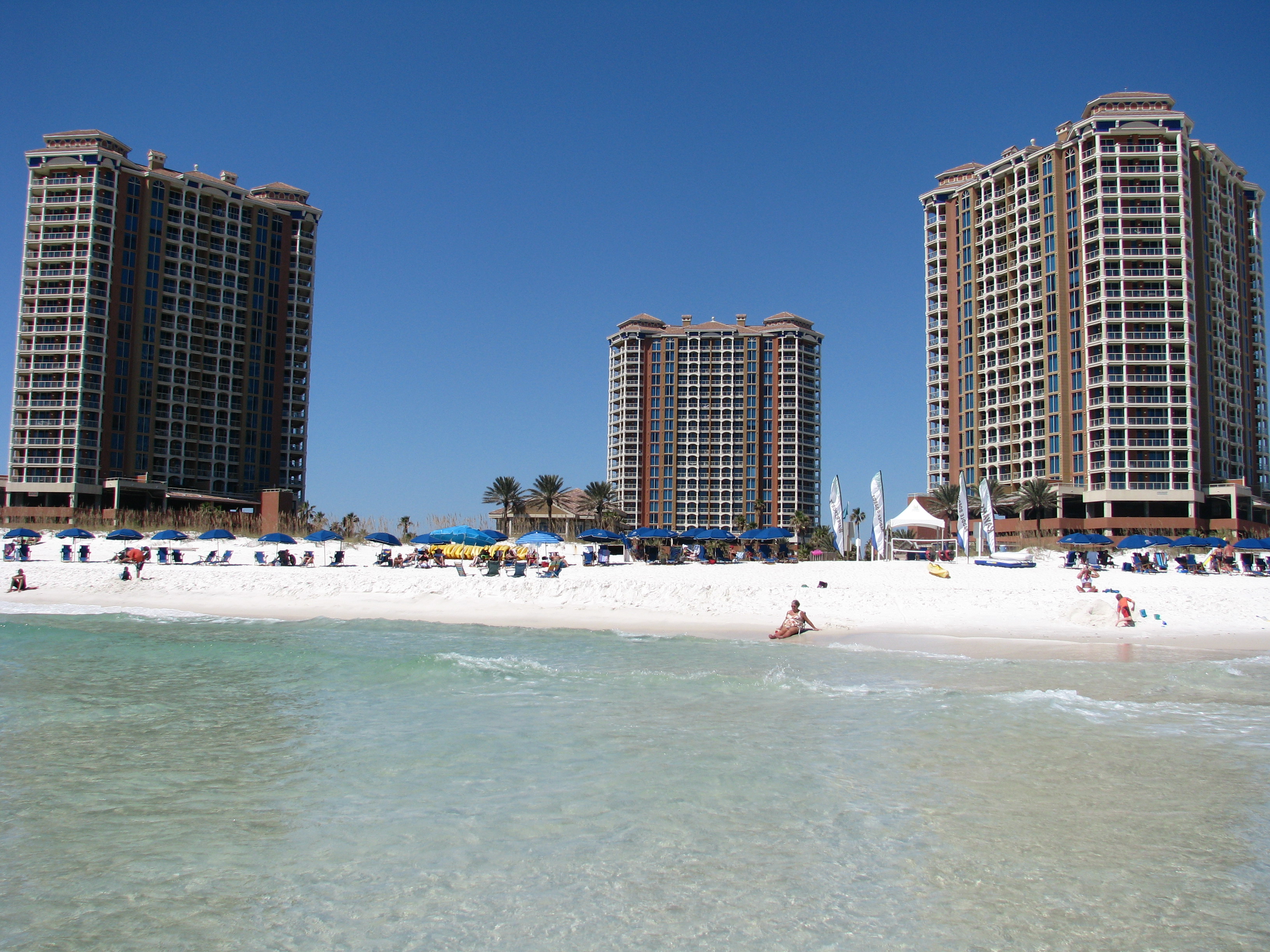
Bay County, it turns out, dodged the worst. "It appears that we were spared from major damage but are dealing with power outages, downed trees and powerlines, flooding and minor storm surge issues overall," Sheriff Tommy Ford wrote Saturday morning. "The west end of Panama City Beach sustained the most damage that we've seen so far." Panama City Beach Police Chief J.R. Talamantez reported neighborhoods without power, damaged buildings and condo complexes, and downed power lines — but added that, considering what came through, "I think we're in pretty good shape."
Panama City crews began assessing conditions at first light; normal city services resume Monday. In Destin, Mayor Bobby Wagner posted a 6:15 a.m. video asking residents to stay inside while crews swept the city: "Your city staff, first responders, are already on the street doing a big sweep of the whole entire community." Okaloosa County opened its first Point of Distribution site at 10 a.m. at the Destin-Fort Walton Rigdon Center — bottled water, tarps and MREs — with more sites to come. A roadway assessment on Santa Rosa Boulevard was still underway mid-morning, with crews pumping standing water before residents can return to Okaloosa Island.
The storm is over. What's next is just water and wind.
Here's the technical postscript: the NHC's 4 a.m. CT advisory was its last on Isaias. Flash flood risk continues, all watches and warnings are dropped, and the post-tropical cyclone was moving north at 14 mph about 40 miles south-southwest of Montgomery as of 4 a.m. CT. It's expected to reach the Tennessee Valley later Saturday and into Sunday, then turn northeast. The National Weather Service in Mobile noted the strongest gusts hit "surprisingly far" west of the center — 114 mph at Whiting Field near Milton — and reported significant wind damage stretching from Pensacola north into Conecuh and Wilcox counties in Alabama.
The Weather Prediction Center warns the heaviest rain now targets the upslope regions of the southern Appalachians — 3 to 5 inches, up to 6 to 10 in the hardest-hit spots — with a tornado risk Saturday across southern Alabama, the Panhandle, southwestern Georgia and southern South Carolina, shifting Sunday to the Carolinas and southeastern Virginia.
The NHC is also watching two tropical waves — one in the eastern Atlantic, one in the western Caribbean. Neither is expected to develop in the next seven days. For once, the tropics look quiet.
And one piece of history: Isaias broke a two-year drought of U.S. hurricane landfalls — the last was Hurricane Milton, on October 9, 2024, two years to the day before Isaias came ashore. It's the fourth October Florida landfalling hurricane since 2000, per Colorado State researcher Phil Klotzbach: Wilma (2005), Michael (2018), Milton (2024), and now Isaias.
8:30 p.m. CT Friday near Destin, FL — Category 2, 105 mph. Final NHC advisory issued Saturday; Isaias is a post-tropical cyclone over Alabama.