
SATURDAY, OCTOBER 10, 2026
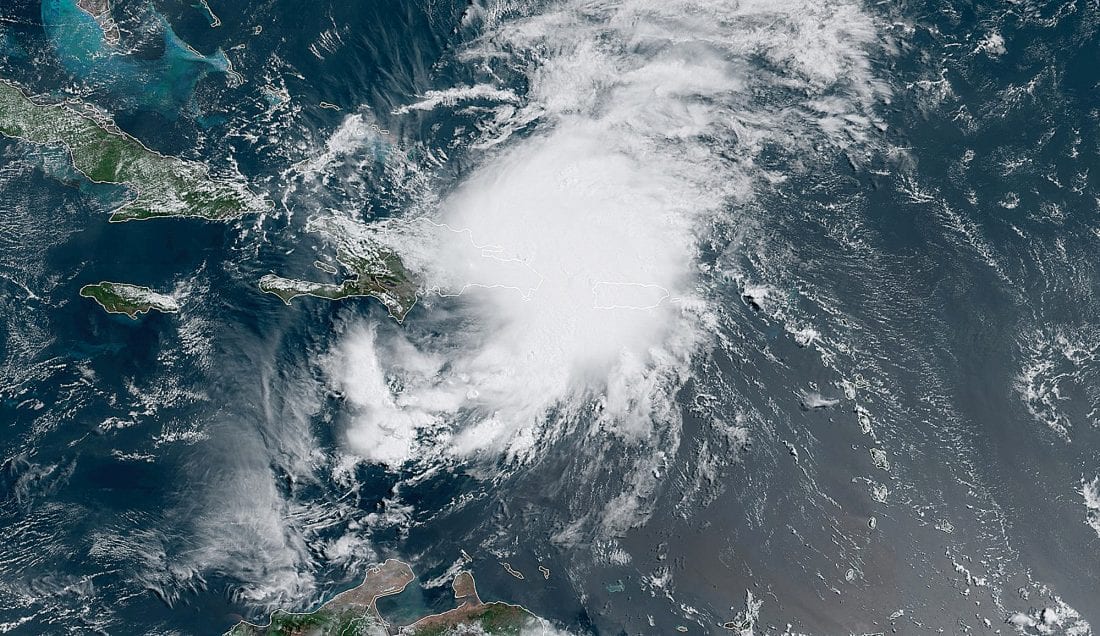
Hurricane Isaias lost its tropical characteristics overnight and the National Hurricane Center issued its final advisory Saturday morning, closing the book on a storm that slammed into the Florida Panhandle near Destin as a Category 2 on Friday evening. More than 760,000 customers were without power across the Southeast overnight, a flash flood emergency was in effect for Okaloosa County, and — in the development officials feared most would go the other way — no deaths had been reported.
02 From Category 2 to a tropical afterthought, in under twelve hours
Isaias roared ashore near Destin, Florida, around 8:30 PM Central Time on Friday as a Category 2 hurricane with maximum sustained winds of 105 mph, according to the National Hurricane Center and the Associated Press. It was the culmination of a rapid late-week intensification in the Gulf of Mexico that had Florida’s Panhandle bracing through the day, with about 900,000 people evacuated ahead of landfall, according to Lt. Gov. Jay Collins.
The storm’s decline was just as fast as its rise. By about 10:30 PM Friday it had been downgraded to a Category 1, and in the NHC’s 2 AM Eastern advisory Saturday the center declared Isaias post-tropical, noting it had lost its tropical characteristics over land. The final advisory at 5 AM Eastern — 4 AM Central — put the remnant system about 40 miles south-southwest of Montgomery, Alabama, with winds down to 35 mph and a northward drift of 14 mph. Every hurricane watch and warning was dropped with that advisory.
Friday night’s landfall coverage followed the storm from its approach through the first hours ashore; this is where the night took it. The transition from a 105-mph Category 2 to a rain-laden inland remnant in roughly nine hours spared the region a second day of hurricane-force winds — but the storm traded wind for water, and water is the story this morning.
03 Three-quarters of a million in the dark
Power outages piled up overnight across the Southeast, with Fox Weather citing outage trackers in reporting more than 760,000 customers without electricity by Saturday morning. Florida carried the brunt of it: the New York Post, citing PowerOutage.US data, reported roughly 450,000 customers out across the state by about 5 AM.
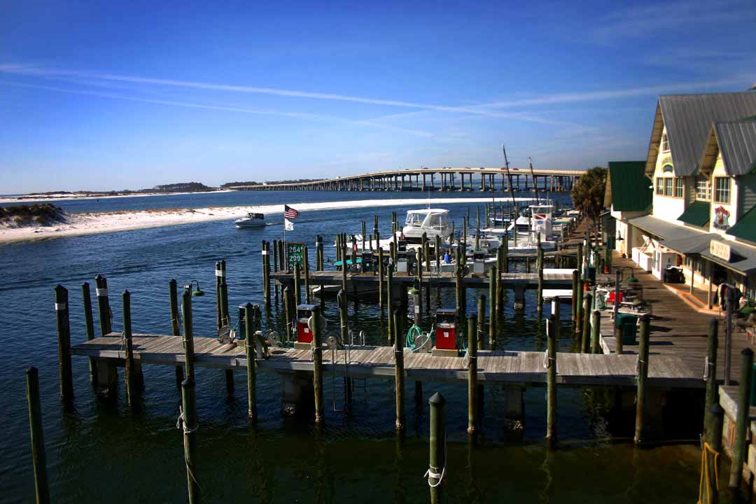
The Panhandle’s outage map was nearly solid dark. More than 130,000 customers were without power in Escambia County, where Pensacola sits, and Walton and Santa Rosa counties were at about 157,000 combined, according to the Pensacola News Journal. Utility officials had staged more than 6,000 lineworkers and support crews ahead of the storm, Lt. Gov. Collins said Friday night, and restoration work began as soon as conditions allowed crews back on the roads.
Some Panhandle counties temporarily suspended emergency response operations during the worst of the storm Friday night — a standard move when winds make rescue runs themselves unsafe — and Pensacola police reported debris scattered across roadways. In Mobile, Alabama, the Associated Press reported downed trees and power lines. How fast power comes back is now the defining question for the Panhandle’s Saturday: in October heat, a dark house turns into a health hazard within hours, and nursing homes, hospitals and shelters are first in line for the crews.
04 Water is the story now
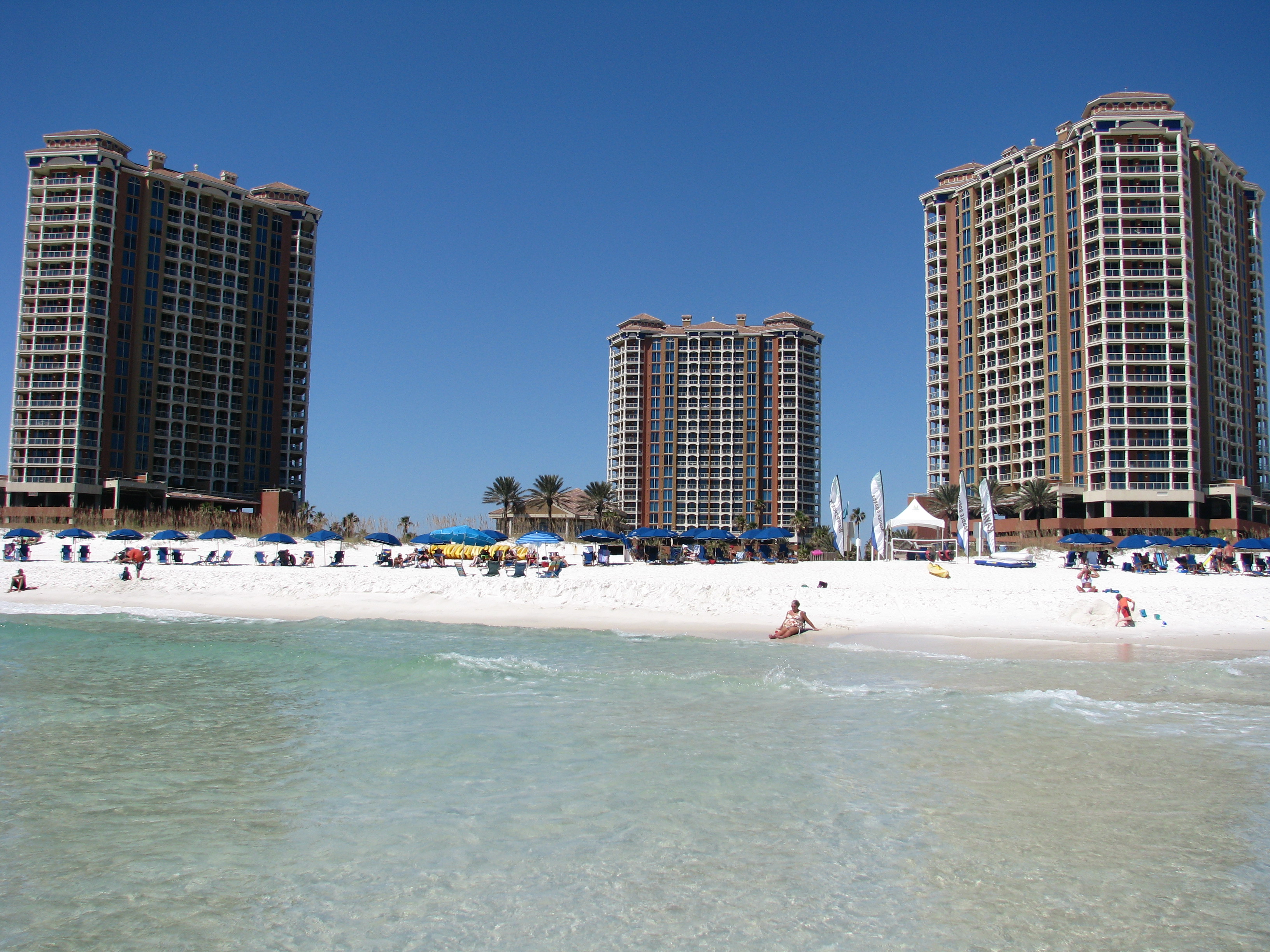
The flooding started while the wind was still howling and kept building after it passed. Fox Weather reported 2 to 3 feet of flooding in Fort Walton Beach on Friday night, and the National Weather Service issued a Flash Flood Emergency for Okaloosa County — including Destin, Fort Walton Beach and Niceville — the rarest and most serious flash flood warning, reserved for situations of catastrophic and imminent flooding.
Across the state line in Alabama, Houston County was hit just as hard: all county roads were closed until further notice under a flash flood warning, according to the NHC advisory summary. Destin’s roads were flooded, and a storm surge gauge at Panama City Beach registered water about 5.6 feet above high tide. Forecasts ahead of landfall had warned of 6 to 9 feet of surge along parts of the coast from the Alabama-Florida border to Grayton Beach — numbers that put low-lying neighborhoods, beach roads and the barrier-island corridors in serious danger.
This is the familiar pattern of Panhandle landfalls: the wind knocks out the power, but the water does the lasting damage. Floodwaters carry a second hazard too. Health officials have flagged a Vibrio vulnificus caution for post-storm cleanup in flooded areas — the bacteria has been linked to 25 cases and 5 deaths in Florida so far in 2026, according to medical reporting earlier this week — making any wading through floodwater a risk best avoided.
05 The damage count so far — and why there’s cautious optimism
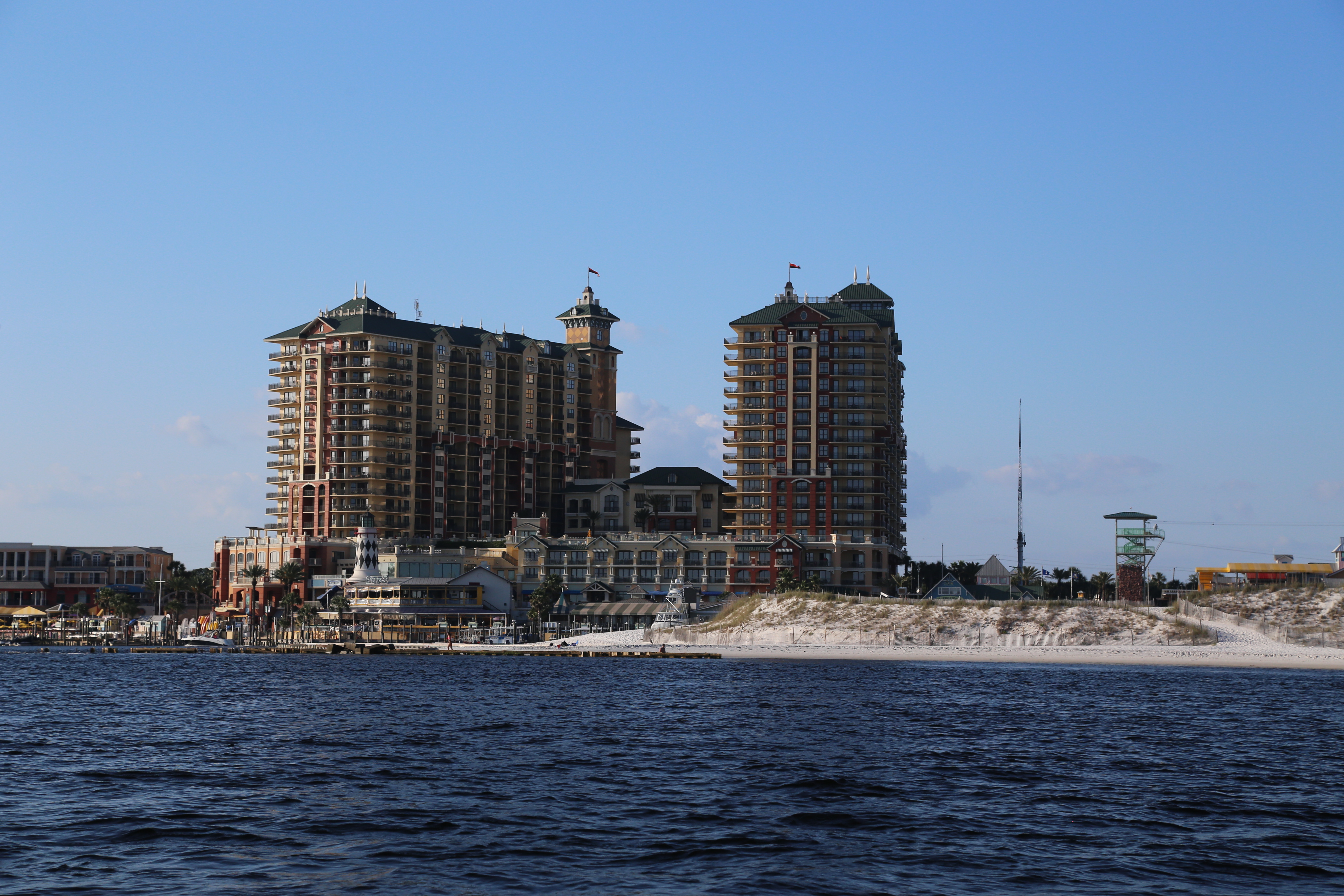
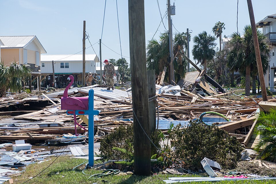
Full damage assessments begin at daylight, and the early picture is fragmented — but officials struck a cautiously relieved tone overnight. In Pensacola, the roof was ripped off an inn and police described debris strewn across roadways; Destin’s streets flooded; and counties across the Panhandle spent Friday night largely in the dark with emergency crews sheltered in place. But Lt. Gov. Jay Collins, appearing on Fox News Friday night, said the state was “not hearing anything dire at this moment” and reported no catastrophic damage.
Collins credited the evacuation — about 900,000 people moved out of harm’s way — and a heavy state posture: more than 5,000 National Guard members on standby, another 400 state guard personnel, and the 6,000-plus utility crews. As of about 3 AM Pacific on Saturday, no deaths had been reported — the single most important line in any hurricane morning-after story, and the one that separates a manageable recovery from a catastrophe.
On Friday, Gov. Ron DeSantis had expanded the state of emergency to 27 North Florida counties, and Trump approved emergency declarations for parts of Florida and Alabama on October 9. Returning from a Syracuse rally late Friday, Trump described the situation as “under control,” according to the Associated Press. Some outlets suggested additional states might have been included in the declarations, but Florida and Alabama are the only ones confirmed — the rest remains unverified.
06 What comes next: tornadoes, more rain, and a long road north
The NHC may be done issuing advisories, but the storm’s remnants still have business. The tornado threat continues Saturday across the Florida Panhandle, Georgia and the Carolinas, the agency warned, as the system’s fast-moving rain bands interact with the atmosphere over the Southeast. Fox Weather flagged a Level 3-of-4 flood risk for Saturday across northern Georgia and the Blue Ridge, including the Atlanta and Asheville areas — regions where steep terrain turns heavy rain into deadly flash floods in minutes.
After Saturday, the remnants push north: through Tennessee, Kentucky, West Virginia, Virginia and Ohio on Sunday, with rain reaching New York State from Sunday into Monday, according to the Rochester Democrat and Chronicle. It’s a wide, soggy arc — tropical moisture streaming up the Appalachian spine and into the Northeast, where early-October rainfall on already-saturated ground could mean urban flooding and swift river rises far from any coastline.
For context, Isaias is the latest in a string of Gulf storms that have tested the region in recent seasons — the Panhandle tracked this one almost in real time from its Gulf intensification through Friday’s landfall run-up. The recovery playbook is well-worn here: crews clear the roads, utilities restore power block by block, and residents pump out the ground floors. The difference this time is speed — nine hours from Category 2 to remnant — and officials are hoping the fast collapse keeps the damage bill from matching the evacuation.
Sources · 10 sources
- Reflector (AP) — Hurricane Isaias makes landfall, hammering the U.S. Gulf Coast with powerful winds and dangerous flooding: landfall time, 105 mph Category 2, damage and downed trees in Mobile. Oct 9, 2026 — https://www.reflector.com/news/state/hurricane-isaias-makes-landfall-hammering-us-gulf-coast-with-powerful-winds-and-dangerous-flooding/article_ac312dad-6d81-56a5-bfc5-b51d96e2b4eb.html
- New York Post — Isaias hit Florida “like a freight train” as the storm left hundreds of thousands without power; Lt. Gov. Jay Collins on no catastrophic damage, evacuations, Guard and utility staging. Oct 10, 2026 — https://nypost.com/2026/10/10/us-news/hurricane-isaias-hit-florida-like-a-freight-train-as-storm-leaves-thousands-without-power-lt-gov-jay-collins-says/
- Fox Weather — Live updates: Isaias post-tropical, 760,000+ outages across the Southeast, 2–3 feet of flooding in Fort Walton Beach, tornado and flood risk Saturday. Oct 9–10, 2026 — https://www.foxweather.com/live-news/live-updates-hurricane-isaias-threatens-the-gulf-coast-with-dangerous-landfall-expected-tonight
- Pensacola News Journal — Live updates: Escambia County 130,000+ outages, Walton and Santa Rosa counties at about 157,000 combined; DeSantis expanded state of emergency to 27 North Florida counties. Oct 9, 2026 — https://www.pnj.com/story/weather/hurricanes/2026/10/09/hurricane-isaias-updates-today-florida-impacts-landfall--live/92152714007/
- DevDiscourse — Isaias weakens to post-tropical cyclone after Florida landfall, NHC final advisory; Houston County, Alabama roads closed. Oct 10, 2026 — https://www.devdiscourse.com/article/international/3990093-isaias-weakens-to-post-tropical-cyclone-after-florida-landfall-nhc-says